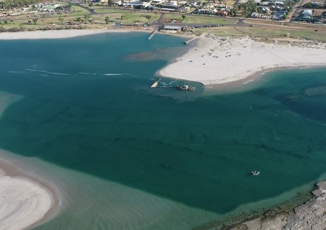
The mouth of the Murchison River is being dredged after the channel width was shown to have more than halved.
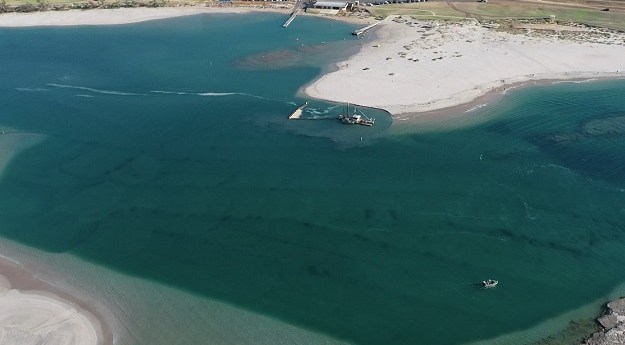
Hydrographic survey reveals river mouth narrowing
The mouth of the Murchison River is being dredged after the channel width was shown to have more than halved.
Read moreLatest Geospatial News
View all
ADVERTISEMENT
The apology acknowledges the role that SGs played in the dispossession of First Peoples from their land in Victoria.
 2024-04-17
In the run up to the Locate conference in May, we’re highlighting some of the companies you’ll be able to meet.
 2024-04-17
A new report lays bare the risks Australia faces from not having access to its own satellite Earth observation data.
 2024-04-15
Uncovering the history, philosophy and benefits of RINEX for the storage and exchange of GNSS data.
 2024-04-15
Entries are now open for both the Survey and Spatial New Zealand and ALGIM 2024 awards.
 2024-04-12
ADVERTISEMENT
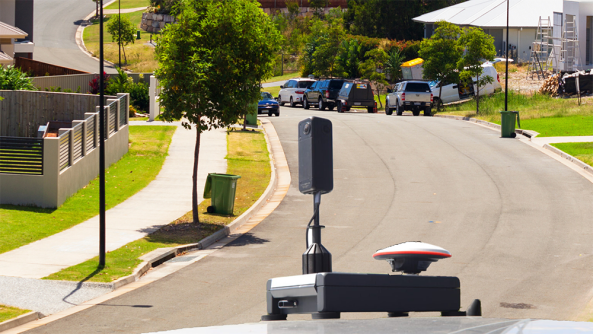
RapidMap now offers the Smart Street 360 which is a rapid deployment panorama camera capture GNSS solution to create personalised Spatially accurate Street Views efficiently. Ideal for Local Government, use for roadside assessments pre and post disaster or simply to record the current condition of shared paths, sealed and unsealed roads.
 2023-11-01
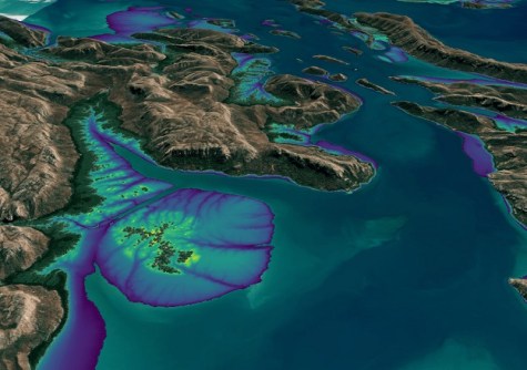
Incorporating Landsat and Sentinel-2 data, it provides an annual 10m elevation product of the intertidal zone.
 2024-04-11
 Events
View All-
May 2
GISTAM 2024
 Angers, France
 -
May 7
Locate24
 International Convention Centre, Sydney
 -
May 7
New Zealand: Digital Twin 2024 Summit
 Mövenpick Hotel Auckland, New Zealand
 -
May 9
4th International Symposium on Applied Geoinformatics 2024
 Wroclaw University of Science and Technology, Wroclaw, Poland
 -
May 13
Geospatial World Forum 2024
 Rotterdam, The Netherlands


