Niantic will spin off its geospatial AI arm into a new company, Niantic Spatial, with $250 million of capital.

DEA Coastal Ecosystems product suite released
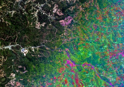
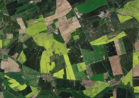
The suite uses Sentinel-2 data to produce 10-metre-resolution maps of four coastal ecosystem types.
Read moreLatest Geospatial News
View all
ADVERTISEMENT
Lemu will add Wyvern imagery to its platform, while Wyvern will task excess Lemu imaging capacity.
 2025-03-18
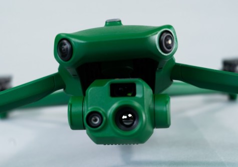
The new Raptors from Anzu Robotics are filling a much-needed niche for affordable, fully capable survey drones.
 2025-03-18
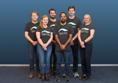
We speak with the firm’s co-founders to find about more about its aim of making digital twins accessible to all.
 2025-03-17
The long-awaited, wide-ranging program for the combined Brisbane conferences in April has been released.
 2025-03-13
The companies’ new partnership will give farmers across the world access to near-daily satellite imagery.
 2025-03-12
ADVERTISEMENT
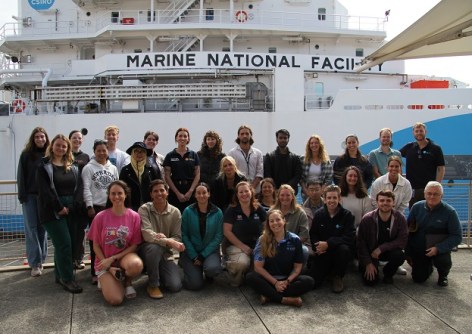
Seafloor mapping and the search for a historic shipwreck are on the agenda for the 10-day training voyage.
 2025-03-12
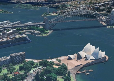
Esri has announced that Google’s Photorealistic 3D Tiles will be integrated into its ArcGIS suite.
 2025-03-12
 Events
View All-
Feb 4
PNT 2026 Conference
 Royal Randwick racecourse, Sydney
 -
Feb 17
Geo Week 2026
 Colorado Convention Center, Denver
 -
Mar 4
BYDA Utility Safety Conference 2026
 RACV Club Melbourne
 -
Mar 16
Association of Public Authority Surveyors (APAS) 2026 Conference
 Park Proxi Gibraltar, Bowral, NSW
 -
Mar 22
Hydrospatial 2026 Conference
 Shed 6, Wellington, New Zealand


